
news
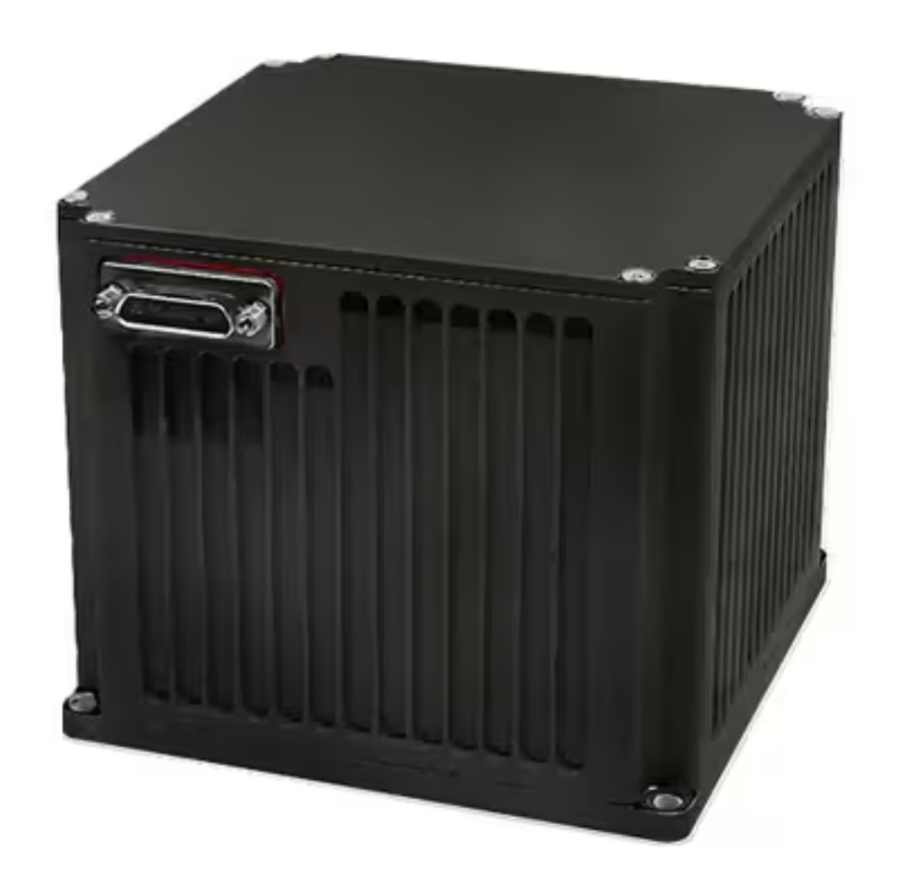
What Is an Inertial Navigation System?
What Is an Inertial Navigation System?
Inertial navigation systems (INS) are crucial to a wide range of applications.ins system Commercial and military aircraft, ships, drones, robots, and cars all rely on them to navigate. They are also used in submarines and spacecraft, where they provide a way to use "dead reckoning" for positioning during periods when satellite or other external references are unavailable.
INS is a system of sensors that collects data to calculate an object's position, velocity and orientation.ins system The core of an INS is called an IMU (Inertial Measurement Unit), which collects raw sensor outputs and references them to an object's known starting point, speed, and direction to provide real-time position information. An IMU can be completely integrated into an INS, or it can be a separate piece of hardware that connects to an INS to process its outputs.
An IMU contains a set of gyroscopes, accelerometers and sometimes magnetometers or GNSS receivers to detect changes in motion and orientation.ins system Gyroscopes measure the rate of rotation of an object's axis, which is used to determine the object's position and orientation relative to its starting point. Accelerometers measure the object's force of acceleration, which is used to calculate displacements and velocity. Magnetometers measure the strength of the object's magnetic field, which is useful in determining heading information, when combined with gyroscopes.
The IMU outputs are combined using mathematical estimation theory and Kalman filtering algorithms to reduce error, stabilize the system, and provide an accurate real-time position reference.ins system The resulting position, velocity and heading estimates are useful for a variety of applications, including autonomous navigation, air traffic control, avionics, vehicle dynamics and performance analysis, and robotics.
A key advantage of INS is that it is independent of external references, which makes it useful in challenging environments such as underwater or inside buildings, where GNSS signals might be blocked or interrupted.ins system However, a GNSS receiver is often integrated into an INS to enhance accuracy by providing absolute position information that can be used to correct and calibrate the IMU outputs. This technique is known as sensor fusion.
In addition to a GNSS receiver, an INS is often supplemented by other sensors such as barometers and odometers to improve the system's overall performance.ins system For example, a barometer is used to measure atmospheric pressure, which can be used to estimate the object's altitude above sea level. This helps to minimize the effects of atmospheric distortion, which can introduce large errors into INS measurements.
An INS typically requires an initial calibration period to develop a reference frame of the aircraft with respect to its geographic surroundings.ins system This process is called alignment, and it typically requires the aircraft to remain stationary for a period of time, depending on the system in use. Many types of INS can also be aligned while in motion, although the performance will be degraded significantly. This approach is especially useful in military applications, where a system needs to be able to operate for long periods without the aid of external references.
1users like this.
- Home
-
All Products

Your cart is currently empty.