
news
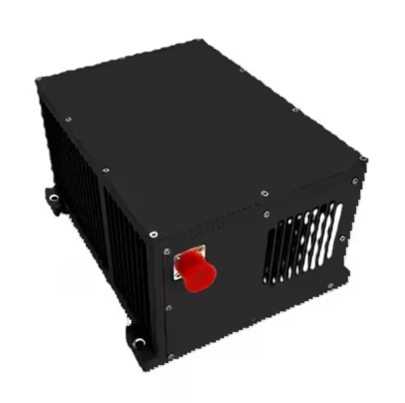
Inertial Navigation Solutions Using Deep Learning
Inertial Navigation Solutions Using Deep Learning
Inertial navigation solutions provide position, velocity and orientation data using motion sensors (accelerometers and gyroscopes) and a GNSS receiver without the need for external references. These systems can be found in commercial and military aircraft, submarines, spacecraft and even missiles and robots. They are also used in mobile devices and video game controllers as well as for positioning and tracking. They are usually employed as a fall-back system to support dead reckoning when satellites or other reference points are not available, though they are often used in close conjunction with GPS/GNSS.
An inertial navigation solution requires a powerful processor to record and process sensor data in order to derive attitude, velocity and position information. The sensor data is integrated over time to calculate the object’s velocity and then compared with gravity to determine its absolute position.
The most common sensor fusion algorithm for an INS is the Kalman filter. However, a number of other methodologies are being explored in the field including deep learning.
DL is being used to enhance the performance of inertial sensors by introducing the ability to learn model-based error covariances and filter out undesirable errors. These models, known as Kalman filters with noise corrections, enable the INS to perform much more accurately.
There are a few different ways to incorporate DL into an inertial navigation solution, but the most common course of action involves training a deep neural network on inertial sensor data for zero velocity scenarios. Inertial sensor data is fed into an end-to-end neural network, a process called sensor fusion, and the network is trained to determine attitude, velocity and position based on this information. The result is an incredibly accurate navigation system that can be used without the need for external references like GNSS or wheel speed data.
Despite the advances in technology, there are still a few challenges to overcome when designing an inertial navigation solution. One of the most significant is integration drift – minor errors that accumulate over time in the integration of angular rate and linear acceleration measurements. While these errors are relatively small, they can significantly reduce an INS’s accuracy.
Another significant challenge is the sensitivity of inertial sensors to magnetic interference. In addition to reducing accuracy, these interferences can also prevent the INS from being able to determine its true position. To overcome this challenge, most INS systems incorporate an on-board magnetometer that measures the strength of the Earth’s magnetic field at a given location. The INS then compares the measured value with the World Magnetic Model (WMM) database to find its absolute heading. The resulting position estimate is then corrected for any remaining integration drift.
Tags:gnss aided inertial navigation | inertial navigation system | marine inertial navigation system
1users like this.
- Home
-
All Products

Your cart is currently empty.